
Elyria ZIP Code Directory Coverage
The verified postal anchor in this Elyria ZIP code directory is 44035. City Hall, Police, the Auditor, Recorder, Probate, and EPLS publish 44035 addresses, and the Postal Service identifies the Elyria Post Office there. Research also found a historical association between Elyria and 44036, but no captured live Postal result establishes its present city-and-state coverage. Possible surrounding postal associations must likewise be tested with USPS for the particular address instead of being presented as a complete Elyria ZIP list.
| ZIP code | Verified area or status | Post office | Search note |
|---|---|---|---|
| 44035 | Current direct Elyria address and facility anchor | Elyria Post Office, 345 East Bridge Street | Verify each address and ZIP+4 with USPS |
| 44036 | Historical USPS material associates it with Elyria | Current city-and-state result was not captured | Do not infer boundaries or present coverage without live verification |
| 44039 and 44074 | Possible surrounding postal associations, not fully verified for Elyria city limits | Not established by the research | Use address lookup before treating either as an Elyria code |
USPS lists the Elyria Post Office at 345 East Bridge Street, Elyria, OH 44035-5254, with phone 440-323-0263. That facility fact anchors 44035; it does not settle the postal designation for every address using an Elyria place name. Note: A ZIP code returned for an address does not confirm that a particular person or organization is there.
Verify an Elyria ZIP
The USPS ZIP Lookup is the authority for a current postal check. It offers three routes: By Address, which turns a street, city, and state into a ZIP; By City and State, which returns ZIPs recognized for that combination; and Cities by ZIP, which returns recognized or recommended city names. Use the exact physical address for the first route when possible. The City-and-State route is useful for a current list check, but an individual delivery answer still belongs to the address route.
- Enter the actual street address, city, and state in USPS By Address.
- Record the returned ZIP and ZIP+4 exactly as the Postal Service formats them.
- When only a place name is known, run By City and State, then return to an exact address before drawing a parcel conclusion.
- Enter the confirmed address components into Lorain County Auditor Location Search.
- Compare the property’s situs, mailing field, community, and legal description before deciding which geography is relevant.
Postal Service output is delivery geography. It is not evidence of city incorporation, parcel ownership, household membership, or voter registration. That distinction makes the ZIP code directory useful for normalization rather than a broad resident search.
Elyria ZIP Code 44035 Anchor
44035 is the one current postal anchor the research can state directly. The USPS Elyria Post Office listing gives 345 East Bridge Street, Elyria, OH 44035-5254 and 440-323-0263. City Hall, Police, the Auditor, Recorder, Probate, and EPLS also publish 44035 addresses. That repetition identifies an official central postal reference point, but it does not draw an eastern, western, or municipal boundary for the code.
Historical Postal material associates 44036 with Elyria, but the research did not capture a current USPS City-and-State result for that code. It would be inaccurate to turn a historical association, or a third-party map, into a current delivery claim. The same restraint applies to 44039, 44074, and any other nearby code that appears in a place-name search. A live USPS address result is the necessary check for each property, especially where a County or mailing-city label seems familiar.
This careful treatment also avoids a common geographic error: City offices can publish a 44035 mailing address while County tools return parcels throughout Lorain County. The ZIP code and the office location help normalize a search, but the parcel’s community, tax district, and legal description establish a different kind of geography.
Elyria ZIP Parcel Fields
Once USPS confirms an address, the Lorain County Auditor Location Search offers a structured county property route. It has optional Tax Year; Street Number; pre-direction; Street; Street Suffix; post-direction; Unit Designator; Unit; City; State; ZipCode; and Search or Clear controls. Breaking the address into parts helps with east/west variants, suffix differences, apartments, and an address that needs a unit-level match.
| Tax Year | Optional current or historic context where supplied. |
|---|---|
| Street Number and directions | Separate fields help normalize the physical address. |
| Street, suffix, and unit | Structured fields narrow the intended parcel. |
| City, state, and ZipCode | Optional location controls, including the ZIP field. |
| Search and Clear | Run the selected query or reset it. |
A matching property page can show a PIN, location address, owner or deeded-owner name, mailing fields, legal description, transfer information, values, structures, and tax information. A property owner or taxpayer is not necessarily the person who lives at the situs. For a street-wide address chain after the ZIP is narrowed, use the Elyria street directory.
Elyria ZIP GIS Context
The Auditor’s GIS and tax-map gateway connects to the County parcel viewer and its map, table, query, address, draw, print, measure, coordinate, Buffer/Near-Me, Select, Layers, and Basemaps controls. Its query options include ZIP Codes beside Owner Name, Address, Community, tax district, school district, land use, neighborhood, conveyance date, consideration, and value. A ZIP query is useful for parcel context after an address is verified.
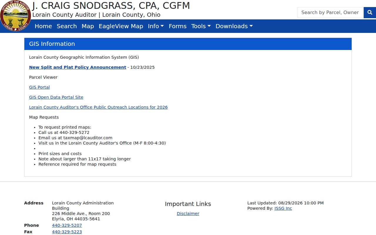
The County map tools pair a ZIP filter with parcel geography, but they do not create an Elyria resident list or establish every delivery configuration.
GIS criteria combine with AND logic. A parcel selected on the map can add owner, tax district, community, and historic-parcel context, while an adjacent shape still identifies a parcel record rather than a person. Treat a ZIP filter as one property-search field among several, not as a city-limit line.
Elyria ZIP Boundary Limits
A ZIP code is postal geography. A municipal limit is a legal City boundary. A Census ZCTA is a statistical approximation of ZIP geography. Those three shapes can overlap without being interchangeable. This matters in Elyria because County parcel and voter tools cover other Lorain County municipalities and townships, and an address with a familiar mailing city can still sit outside the City.
The Census ZCTA guidance explains why a ZCTA should not be used as if it were a USPS delivery boundary.
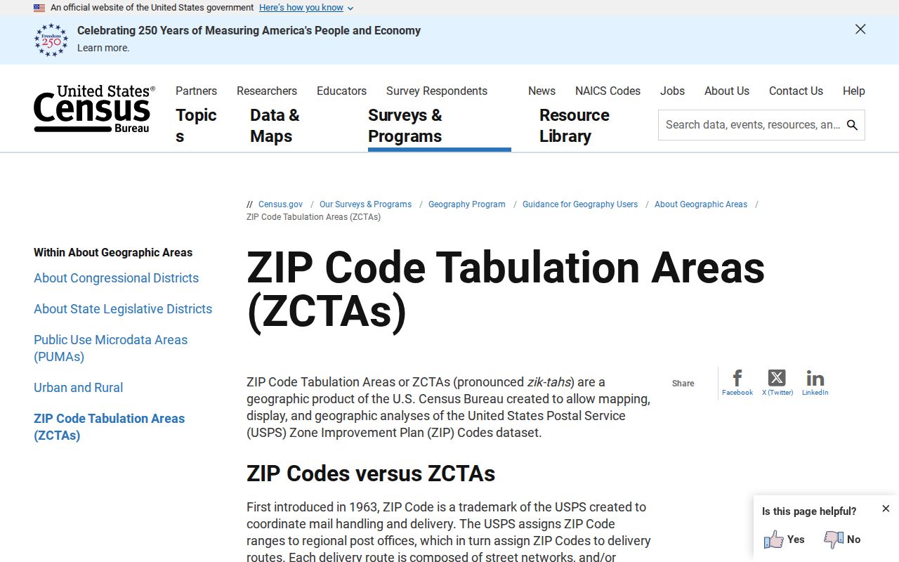
The Census explanation supports the basic limit: a useful statistical map is not a Postal Service answer for an individual address.
Elyria ZIP Address Authority
The City Engineering Department assigns addresses for new structures and for a requested new address at an existing structure. It is the appropriate office when a specific number, possible readdressing, or City address-assignment record needs clarification. Supply the property location, parcel number, legal description, nearby intersections, current or historic number, and approximate date. No source here establishes a citywide renumbering chronology, so a specific inquiry is safer than guessing one.
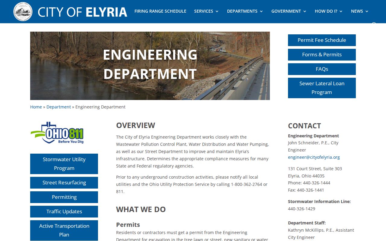
Engineering’s stated address-assignment role makes it the local authority for a particular address discrepancy, while USPS remains the source for postal formatting.
- Situs
- The physical property address used in tax records.
- Mailing address
- The taxpayer or owner correspondence address, which can differ from the situs.
- Legal description
- The lot, subdivision, survey, or parcel language that ties a deed and map together even if a street number changes.
- ZIP+4
- The extra Postal Service digits that refine delivery routing beyond the five-digit ZIP code.
Elyria ZIP City Geography
City ward, County, township, parcel, and postal labels have different purposes. Elyria is the Lorain County seat, but a Lorain County record search spans the County rather than the City alone. City Council’s address-to-ward material identifies local representation, not a postal ZIP or property owner. It can still help establish the civic geography of an address after postal and parcel fields are checked.
The Elyria City Council source provides the City’s ward-oriented information.
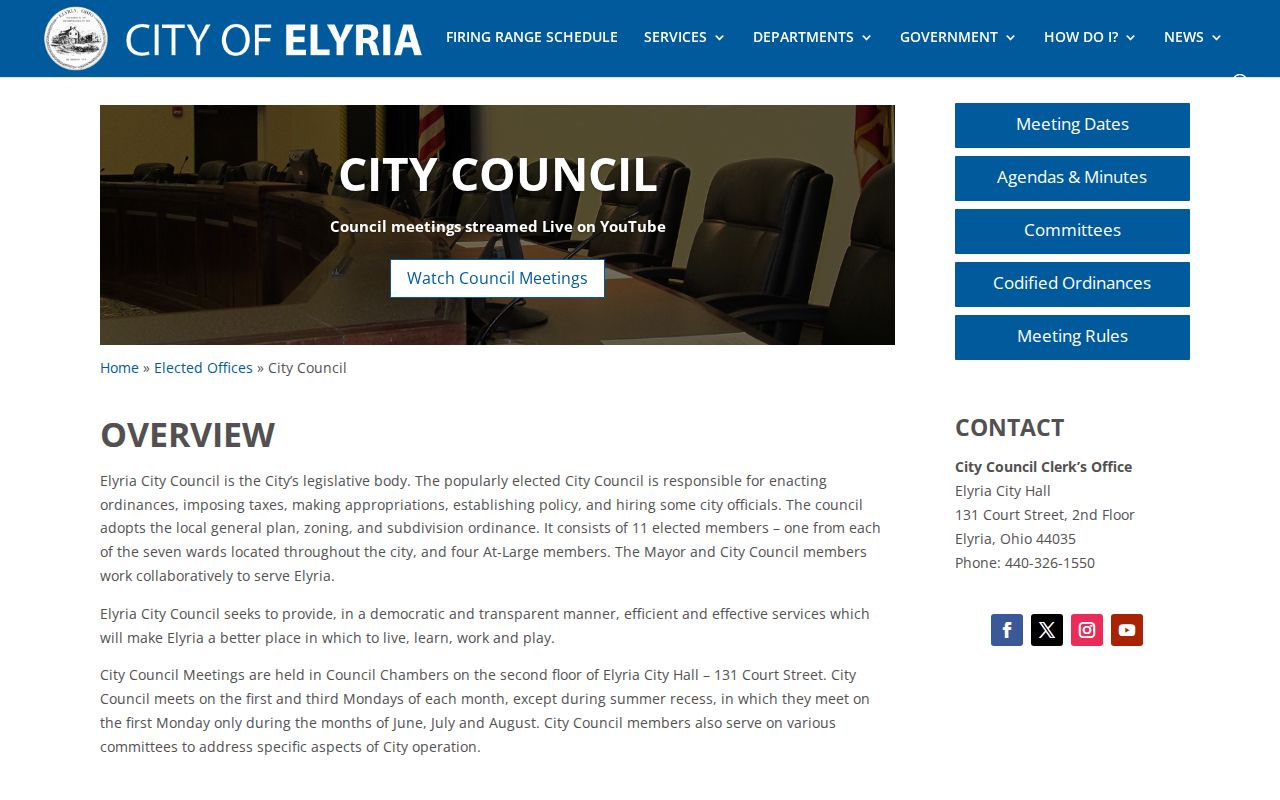
The ward material adds City governance context, but it should not be substituted for a live USPS ZIP result or a County parcel location.
Historic address work needs extra care. The 1914 Elyria directory marks intersections and warns that a parenthetical second number may be incorrect. Preserve the printed number and nearby cross street, then use legal description, historic or retired parcel tools, and Engineering for a particular discrepancy.
Elyria ZIP Directory Limits
A ZIP code narrows postal geography, not a roster of residents. The Auditor accepts ZIP as part of an address search, but its property results concern parcels and recorded owner or taxpayer fields. The Ohio and Lorain voter tools are name-and-county systems that can later request a street selection; they are not public ZIP-wide resident searches. Recorder PAX is organized around people, legal descriptions, and instruments, not around a claimed ZIP-wide household search.
That leaves a clear sequence: confirm delivery information through USPS, retrieve a specific County parcel if needed, use GIS for its mapped context, and request a specified record from the custodian when the online result stops. Public utility customer accounts are not an address directory, and a record result should never be used to bypass a protected address or harass anyone. Note: Postal, parcel, voter, and court systems each answer a limited question, so keep their dates and purposes separate.