
Elyria Neighbors Around One Block
Elyria neighbors are best researched through a small set of records that each answer a limited question. The GIS map shows physical parcels and their context. Auditor cards show property facts and the listed owner or taxpayer. Recorder instruments identify legal parties in a property sequence. Lorain's voter report has an address-sorted option for registered voters, while the City Block Watch directory offers civic-area contact information. A historic street census can show an earlier block snapshot. None is a complete modern list of people at nearby homes.
Begin by deciding what needs to be confirmed. A property-boundary question belongs in GIS. An ownership question belongs in the Auditor and Recorder trail. A civic question belongs with Block Watch. A historic household question belongs in dated directory and library sources. This avoids turning a map-adjacent parcel into an unsupported statement about a neighbor's private life.
| Block source | What it can show near an address | Access and limit |
|---|---|---|
| GIS Parcel Viewer | Adjacent parcel polygons, boundaries, map, district, and community context | Free map; parcel geography only. |
| Auditor parcel card | Listed owner or taxpayer, mailing field, property facts, transfer clues | Free search; it is not an occupant roster. |
| Recorder instrument search | Recorded parties, legal descriptions, and document sequence | Free account required; legal record, not neighbor list. |
| Lorain voter Walking List | Registered-voter entries sorted by address in a selected report | Protected records excluded; not all residents. |
| City Block Watch | Civic-area leaders and organizing contacts | Not a member or resident directory. |
| 1914 street census | Dated address listings and approximate owner notation | Historic snapshot, not current title or residence proof. |
Note: A mapped adjacent parcel establishes physical proximity, not a personal relationship or a current household connection.
Elyria Neighbors Begin With the Parcel
Use the Lorain County Auditor Location Search to locate the starting property by structured address. It accepts street number, directional fields, street, suffix, unit information, city, state, ZIP code, and tax year. The result can connect the location to a permanent parcel number or PIN, legal description, owner or taxpayer fields, tax and transfer context, and a property situs. Preserve the PIN and legal description before exploring surrounding parcels.
Those identifiers matter when blocks have similar street names, a lot has been split or combined, or a historic record uses a different numbering style. A property location, called the situs, is not the same as the owner or taxpayer mailing address. The mailing field is tax correspondence data and may point to a different property, business, estate, trust, or out-of-area contact. It does not prove where a listed owner lives.
Auditor records can also show land use, acreage, community, school and tax district, structures, values, exemptions, consideration, conveyance date, and deed references. These explain a parcel. They cannot identify renters, visitors, or all people living around an Elyria block.
Mapping Elyria Neighbors in GIS
The Lorain County GIS Parcel Viewer gives the clearest official block method. It provides map and table views, Address and other query options, Select, Layers, Basemaps, Draw, Print, Measure, coordinates, and Buffer/Near-Me. Find the starting address, select its parcel polygon, then zoom to the immediate block. A nearby polygon is an adjacent property reference, not an identification of who lives inside.
- Find the target address and verify its parcel number and physical situs through the Auditor search or GIS address query.
- Select the parcel polygon, zoom to the immediately adjacent polygons, or use Buffer/Near-Me to document the local map context.
- Open each nearby parcel card only when needed, keeping each PIN and legal description separate from the starting parcel.
- Compare a needed owner or transfer clue with the Recorder instrument route, while retaining the difference between a legal owner and an occupant.
- For a whole named street rather than one block, use the fuller address chain in the Elyria Street Directory.
GIS can query by owner name, exact address, community, land use, tax or school district, acreage, market value, sale amount, and conveyance date. Historic and retired parcel fields add a route for older property context. Use the filters to narrow a property question, never to declare a map search a complete neighbor directory.
Elyria Neighbor Parcel Card Limits
An adjacent parcel card is rich property context, but it must be read narrowly. The public details can include the PIN or property ID, location address, city, state, ZIP code, listed owner, deeded owner, taxpayer name, mailing address, legal description, conveyance date, consideration, deed volume or page, appraisal and taxable values, land use, improvements, and district fields. It may link to Auditor or Treasurer resources.
That inventory is useful for separating parcels and for finding a document trail. It does not identify every household member or a current renter. A homestead, exemption, or mailing indicator is a tax field, not conclusive evidence of residence. If a nearby parcel is in a different municipality or township, remember that Lorain County tools cover the whole county, not Elyria alone.
Use a dated second record only when it answers the same narrow question. A deed can confirm a recorded transfer. A voter entry can confirm a registration record. A 1914 directory can show a historical address listing. Combining unlike fields without dates produces a misleading picture of Elyria neighbors.
Elyria Neighbor Voter Walking Lists
Lorain's voter reporting interface has a specific block-level capability: Walking List sorting by voter address. The report can be filtered by precinct or district and offers PDF, label, CSV, and statistical outputs. It also exposes household grouping, mailing-address, voter-district, and optional election-history controls. These are reporting settings. They do not establish family relationships, every adult at a home, or ballot choices.
Ohio's public registration database is subject to ORC §3503.13 exclusions. Full or partial identity numbers, phone and email data, confidential registrations, protected service-worker information, and other confidential material are not public. Safe at Home participants' residential address and precinct are not in public voter database or list outputs. A county result is a registered-voter record only. It is not evidence that every neighbor is registered or that a no-match shows someone has moved.
The Lorain County Board of Elections is the custodian for a narrow question about its tool or record. Use address sorting only with the proper geographic filter and retain the output date. The 2025 daily voter snapshots and data dashboards can add a dated transparency path, but they do not remove the statutory privacy limits.
See the Lorain County Board of Elections for official voter-service and contact information.
The Board's official channel supports a defined registration-record question; it does not turn a block search into a complete resident list.
Elyria Neighbors and Block Watch
City Block Watch is Elyria's closest verified community-directory layer. It offers civic-area leader and organizing information rather than a neighborhood-member database. Published areas include Boston Area, Bowling Green Circle Area, Colonial Oaks, Eastern Heights West, E. Bridge/E. River, Elyria North, Four Seasons, Northfield Drive, Pinewood, Southside, St. Jude, Sumner Street, Turner Street, University Heights, Wesleyan Village, West Recreation Area, and Whitman Boulevard.
No official comprehensive neighborhood-association or HOA directory, membership roster, umbrella group, or boundary atlas was found. That gap is important. Use Block Watch to learn how to join or contact the civic program, not to locate private households or publish a list of people. The official leader page is the responsible starting point for an Elyria block orientation.
City Block Watch
City civic program with published area and leader information. It is not a resident roster.
Block Watch program
Block Watch Leaders
Use the City leader directory for current civic contact and organizing context.
Area leader directory
The Elyria Block Watch leader page is the source for the City-published civic-area information.
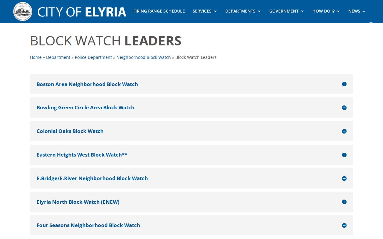
Block Watch information can help a resident find a civic contact, while preserving the distinction between community organization and a private address directory.
Elyria Neighbor Address Records
City records may add address context when a block question concerns a defined public project, permit, zoning issue, street work, or public decision. The City Law Director's public-records material directs requesters to the applicable custodian and explains the local policy. Under Ohio's Public Records Act, ORC §149.43, a public office can help a requester refine an ambiguous request by explaining how it keeps records. A focused request should name the address or parcel, approximate date, record type, and known permit, incident, or case number.
City Building and Land and Engineering are record routes for permits, code, exterior inspections, zoning, and address assignment. The City has not published a verified historic open address-name index for permits or code cases. The eSuite permit portal tells residents that a parcel number is required and presents an account-based route. A permit can show a dated applicant, project, or contractor connection, but cannot establish every person at an address.
Start with the Elyria public-records page when a defined municipal record is needed.
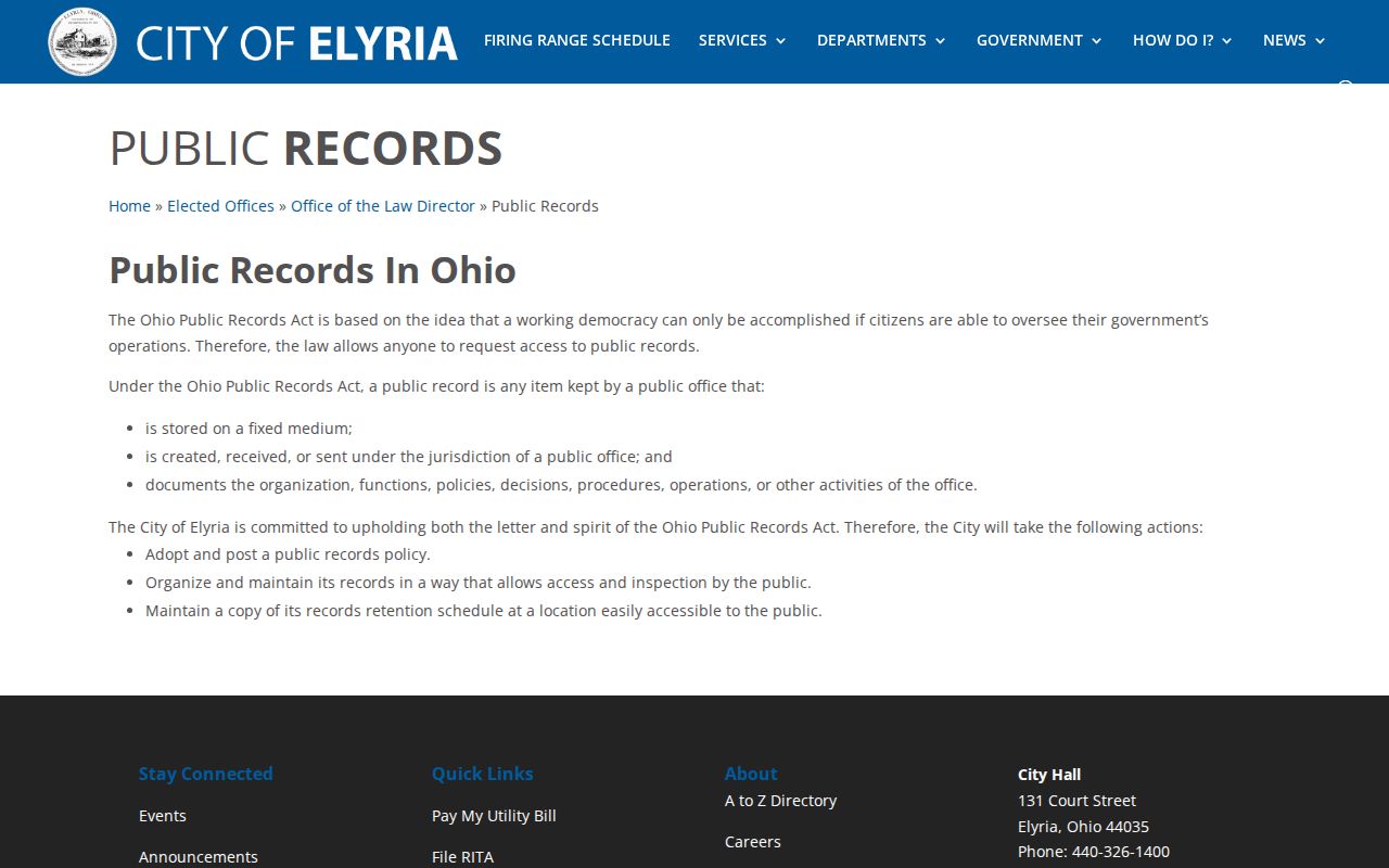
A narrowly described record request is more useful than asking a City office to identify everyone who may have been associated with a block.
The Elyria eSuite permit portal shows the parcel-number and account route for City permit activity.
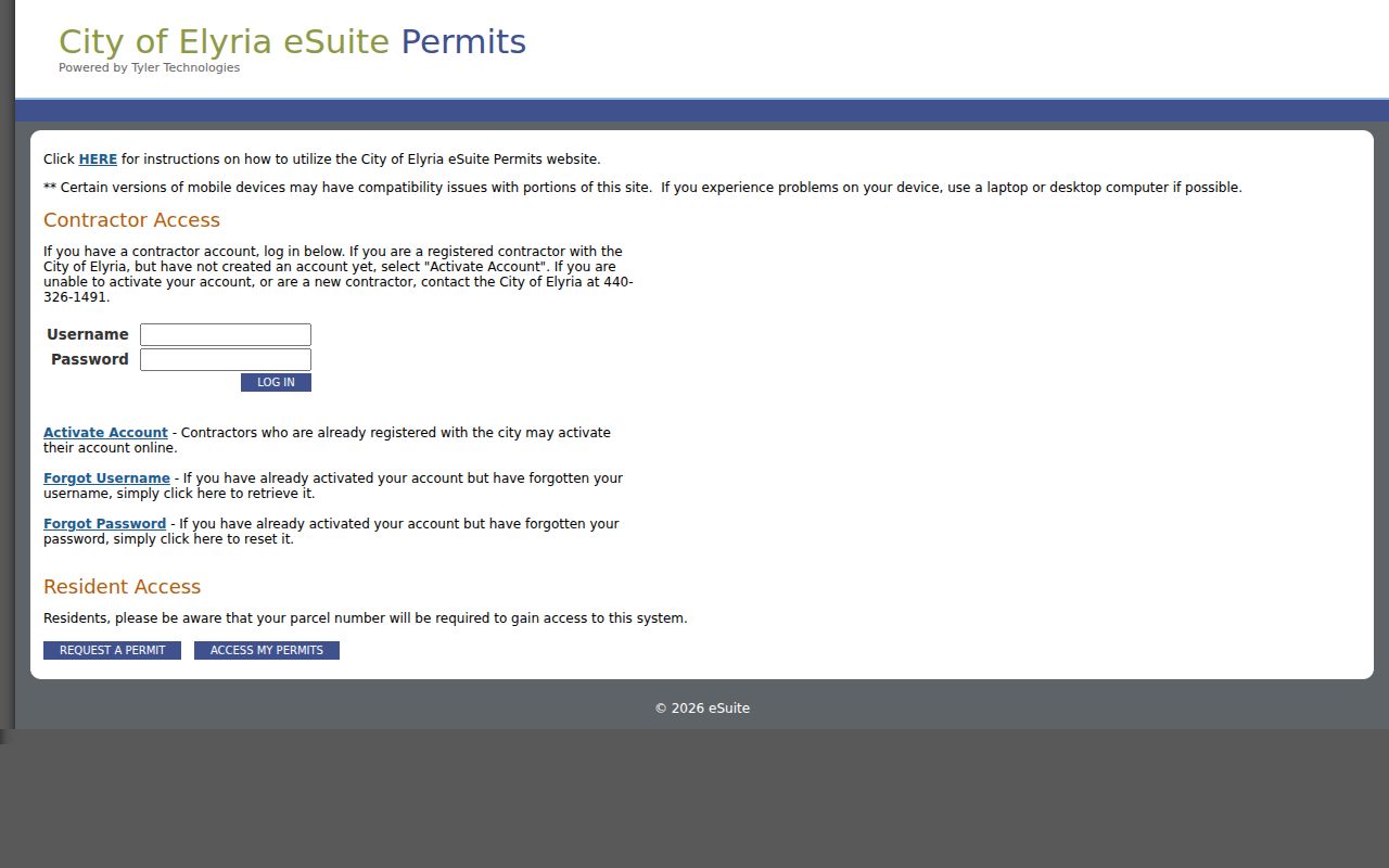
Use a permit trail as dated property context, then cross-check it with the parcel and recorded-document records for the same address.
Elyria Neighbors and Recorded Documents
For an adjacent property with a defined ownership or transfer question, the Recorder's instruments are the official source. Start from the parcel's legal owner and legal description, then use PAX name, legal, party, date, or instrument routes. The legal description matters because a lot can split, combine, or carry a corrected address. A recorded party is a legal-document fact, not proof of current occupancy or a personal relationship with nearby owners.
The Recorder also offers free RecordALERT monitoring for names entered by the account holder. It sends a notice when a document is recorded under a monitored name after email activation. It is not a title opinion, a location claim, or a way to map a block's residents. Use it for a person's own fraud awareness, then verify any suspected instrument through the Recorder or appropriate legal and law-enforcement channels.
The Lorain County Recorder RecordALERT page describes the name-based notification service.
The alert tool adds notice for a monitored name but does not replace a parcel, legal-description, and recorded-instrument review.
Elyria Neighbors: Official Records Compared
Official sources state their custodian and record boundary. Commercial neighbor-lookup products, by contrast, can combine stale, incomplete, or conflated information from multiple sources. They should not replace a dated check with the office that holds the underlying record. The comparison matters most where ownership, registration, and private household information are easy to confuse.
| Source type | Strength | Limit to keep visible |
|---|---|---|
| Official parcel, deed, and voter records | Custodian, record type, and source date can be identified. | Each addresses a narrow fact and may omit protected or non-public information. |
| Commercial compiled neighbor tools | May offer a broad starting lead. | Information can be stale, mixed between people, incomplete, or unsupported by a source date. |
| Civic Block Watch directory | Offers published area and organizing contacts. | It is not a list of members, households, or home addresses. |
For an ownership, map, or civic question, return to the official parcel viewer, Recorder, Board of Elections, City department, or Block Watch contact. Keep the result tied to the limited question the record can actually answer.
Elyria Neighbor Lookup Privacy Boundaries
Public block records do not expose all the facts about Elyria neighbors. Renters and non-registered residents are not a parcel or voter layer. Utility and delivery accounts are not public. Protected voter entries are excluded. Ohio Safe at Home safeguards qualifying participants' confidential locations, and public service workers can pursue online residential-address redaction under ORC §149.45. DMV information is protected by federal law, while sealed court records remain inaccessible.
Do not try to reconstruct a protected address from other sources. A public record can support personal safety awareness, family or neighborhood history, civic participation, a defined property question, or reconnecting with a known person. It cannot be used for surveillance, contact pressure, threats, intimidation, or publishing private information.